
file:LocationAntarctica.png
Ii preview ke size: 800 × 407 pixels Duusra resolutions: 320 × 163 pixels | 640 × 326 pixels | 1,024 × 521 pixels | 1,280 × 651 pixels | 2,759 × 1,404 pixels.
Original file (2,759 × 1,404 pixel, file ke size: 50 KB, MIME type: image/png)

|
File:Antarctica Location.svg is a vector version of this file. It should be used in place of this PNG file when not inferior.
File:LocationAntarctica.png → File:Antarctica Location.svg
For more information, see Help:SVG. |
 |
Sanchhipt me
Español: Mapamundi mostrando la ubicación de la Antártida.
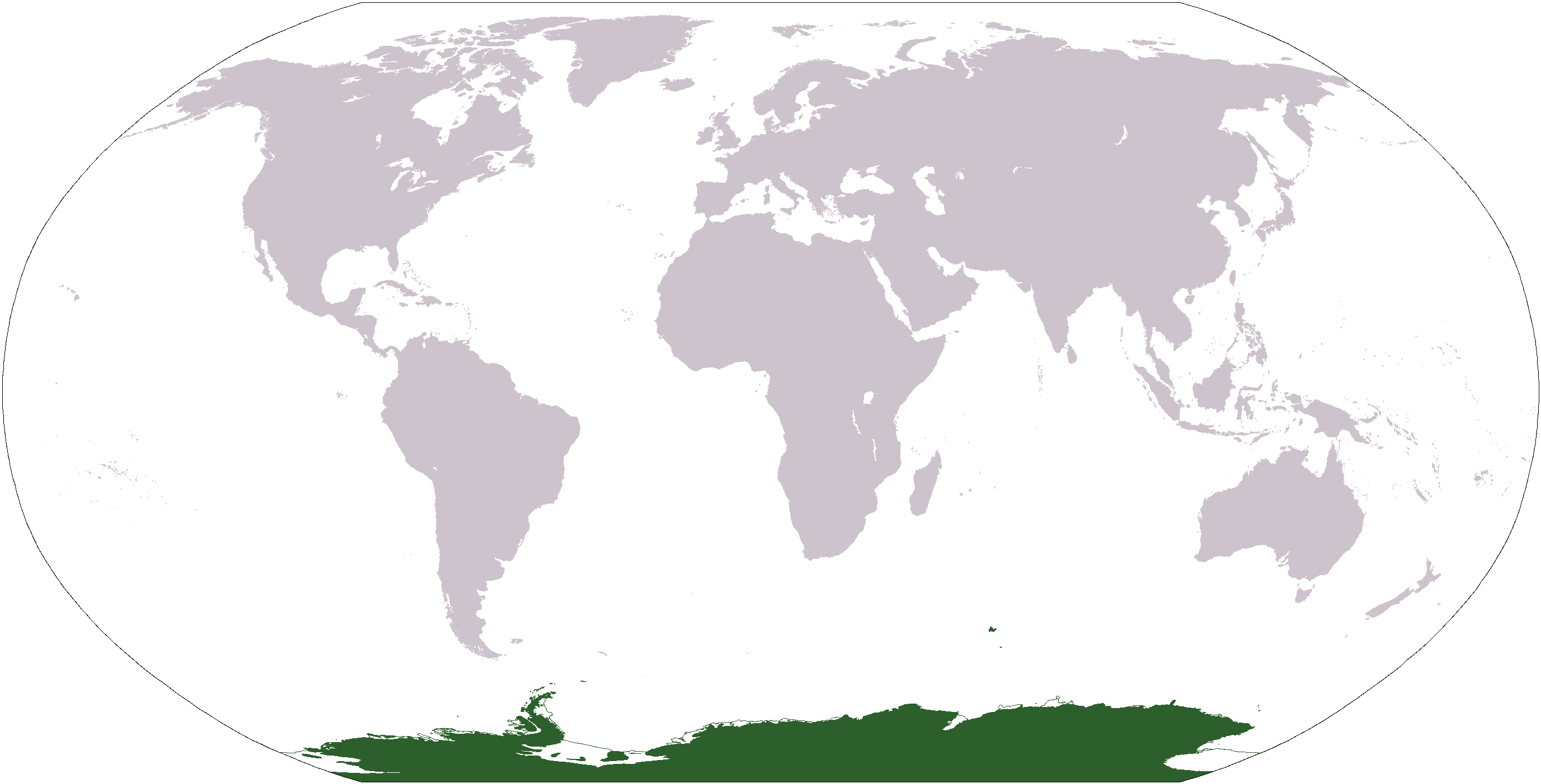
World map depicting Antarctica; map adapted from PDF world map at CIA World Fact Book.
Updated March 31, 2006 to remove green above 60°S line. in december there is 24 hours of sun light
Licence ke baare me
This image is in the public domain because it contains materials that originally came from the United States Central Intelligence Agency's World Factbook.
|
 |
File ke itihaas
File ke dekhe khatir, jaise uu time dekhe me lagat rahaa, date/time pe click karo.
| Din/Time | Chhota chapa | Lambai aur chaurai | Sadasya | Tiprrin | |
|---|---|---|---|---|---|
| abhi waala | 17:13, 23 Aprel 2013 | | 2,759 × 1,404 (50 KB) | User02062000 | |
| 17:10, 23 Aprel 2013 |  | 2,759 × 1,404 (50 KB) | User02062000 | Reverted to version as of 18:54, 20 December 2005 | |
| 12:37, 19 Janwari 2008 |  | 2,759 × 1,404 (97 KB) | F l a n k e r | Transparency | |
| 01:04, 31 Maach 2006 |  | 2,759 × 1,404 (55 KB) | David Kernow~commonswiki | ||
| 18:54, 20 Disambar 2005 |  | 2,759 × 1,404 (50 KB) | E Pluribus Anthony~commonswiki | World map: Antarctica (location) | |
| 12:38, 28 Aprel 2005 |  | 2,759 × 1,404 (39 KB) | Ghalas | Extracted from CIA World Factbook PDF world map, then rasterized and colored. {{PD-USGov-CIA-WF}} |
File ke kaise kaam me lawa gais hae
Niche ke 12 sab panna kaam me laae hai ii file ke:
Global file usage
Ii aur duusra wiki ii file ke use kare hai:
- af.wikipedia.org pe upyog
- am.wikipedia.org pe upyog
- ang.wikipedia.org pe upyog
- arc.wikipedia.org pe upyog
- ar.wikipedia.org pe upyog
- arz.wikipedia.org pe upyog
- ba.wikipedia.org pe upyog
- bcl.wikipedia.org pe upyog
- be-tarask.wikipedia.org pe upyog
- bjn.wikipedia.org pe upyog
- bn.wikipedia.org pe upyog
- bo.wikipedia.org pe upyog
- bpy.wikipedia.org pe upyog
- br.wikipedia.org pe upyog
Ii file ke more global usage kedekho.