
File:Afghanistan physical map.svg

Size of this PNG preview of this SVG file: 800 × 589 pixels. Other resolutions: 320 × 236 pixels | 640 × 471 pixels | 1,024 × 754 pixels | 1,280 × 943 pixels | 2,560 × 1,886 pixels | 1,807 × 1,331 pixels.
Original file (SVG file, nominally 1,807 × 1,331 pixels, file size: 4.41 MB)
This is a file from the Wikimedia Commons. Information from its description page there is shown below.
Commons is a freely licensed media file repository. You can help.
Commons is a freely licensed media file repository. You can help.
Summary
| Description |
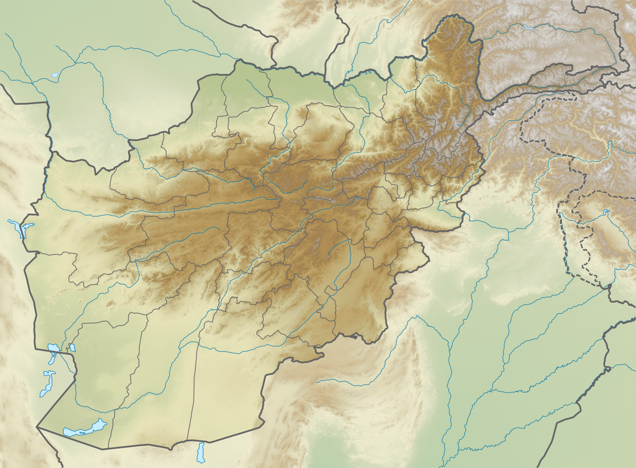
English: Physical map of Afghanistan, parameters are equal to File:Afghanistan location map.svg |
| Source | Own work |
| Author | Urutseg |
Licensing
I, the copyright holder of this work, hereby publish it under the following license:
| This file is made available under the Creative Commons CC0 1.0 Universal Public Domain Dedication. | |
| The person who associated a work with this deed has dedicated the work to the public domain by waiving all of their rights to the work worldwide under copyright law, including all related and neighboring rights, to the extent allowed by law. You can copy, modify, distribute and perform the work, even for commercial purposes, all without asking permission.
|
File history
Click on a date/time to view the file as it appeared at that time.
| Date/Time | Thumbnail | Dimensions | User | Comment | |
|---|---|---|---|---|---|
| current | 23:17, 21 November 2020 | | 1,807 × 1,331 (4.41 MB) | C1MM | Changed background to lighter color |
| 06:33, 20 April 2020 |  | 853 × 659 (2.22 MB) | C1MM | Used more recent data, changed color scheme (STRM3) | |
| 11:37, 20 February 2011 |  | 853 × 659 (3.21 MB) | Urutseg | {{Information |Description ={{en|1=Physical map of Afghanistan, parameters are equal to File:Afghanistan location map.svg}} |Source ={{own}} |Author =Urutseg |Date = |Permission = |other_versions = }} |
File usage
The following 10 pages use this file:
Global file usage
The following other wikis use this file:
- Usage on als.wikipedia.org
- Usage on ar.wikipedia.org
- Usage on arz.wikipedia.org
- Usage on ast.wikipedia.org
- Usage on azb.wikipedia.org
- Usage on ba.wikipedia.org
- Usage on bcl.wikipedia.org
- Usage on be.wikipedia.org
- Usage on bn.wikipedia.org
- কাবুল
- টেমপ্লেট:অবস্থান মানচিত্র আফগানিস্তান
- মডিউল:অবস্থান মানচিত্র/উপাত্ত/আফগানিস্তান
- কাবুল আন্তর্জাতিক বিমানবন্দর
- শেঘনান বিমানবন্দর
- জাকিয়া জাকি
- মডিউল:অবস্থান মানচিত্র/উপাত্ত/আফগানিস্তান/নথি
- কোকচা নদী
- সাখি দরগাহ
- খায়ের খানহ্
- ব্যান্ড-ই আমির জাতীয় উদ্যান
- কালা-ই-বোস্ত
- ২০২২ সালের মাজার-ই-শরীফ মসজিদে বোমা হামলা
- বোস্ট বিমানবন্দর
- ২০২৫ সালের বলখ ভূমিকম্প
- Usage on bs.wikipedia.org
View more global usage of this file.