
File:Sorachi Subprefecture Map.gif
Size of this preview: 366 × 598 pixels. Other resolutions: 147 × 240 pixels | 600 × 981 pixels.
Original file (600 × 981 pixels, file size: 53 KB, MIME type: image/gif)
This is a file from the Wikimedia Commons. Information from its description page there is shown below.
Commons is a freely licensed media file repository. You can help.
Commons is a freely licensed media file repository. You can help.
Summary
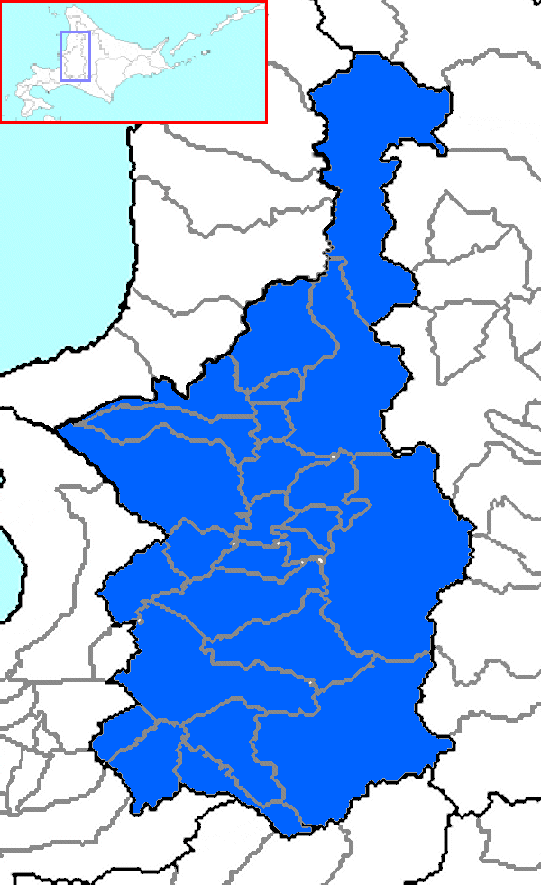
| Description | The map of Sorachi Subprefecture in Hokkaido Prefecture, Japan. |
| Date | |
| Source | Own work |
| Author | user:alberth2 |
| Permission (Reusing this file) |
GFDL |
Licensing
I, the copyright holder of this work, hereby publish it under the following licenses:

|
Permission is granted to copy, distribute and/or modify this document under the terms of the GNU Free Documentation License, Version 1.2 or any later version published by the Free Software Foundation; with no Invariant Sections, no Front-Cover Texts, and no Back-Cover Texts. A copy of the license is included in the section entitled GNU Free Documentation License. |
| This file is licensed under the Creative Commons Attribution-Share Alike 3.0 Unported license. | ||
| ||
| This licensing tag was added to this file as part of the GFDL licensing update. |
You may select the license of your choice.
File history
Click on a date/time to view the file as it appeared at that time.
| Date/Time | Thumbnail | Dimensions | User | Comment | |
|---|---|---|---|---|---|
| current | 16:01, 24 September 2006 | | 600 × 981 (53 KB) | Alberth2 | == Summary == {{Information |Description=The map of Sorachi Subprefecture in Hokkaido Prefecture, Japan. |Source=Created by the uploader |Date=Sep. 24th, 2006 |Author=user:alberth2 |Permission=GFDL }} == Licensing == {{self|GFDL}} [[Category:Maps of |
File usage
The following 3 pages use this file:
Global file usage
The following other wikis use this file:
- Usage on ar.wikipedia.org
- Usage on de.wikipedia.org
- Usage on id.wikipedia.org
- Usage on ilo.wikipedia.org
- Usage on ko.wikipedia.org
- Usage on nl.wikipedia.org
- Usage on ru.wikipedia.org
- Usage on sr.wikipedia.org
- Usage on tr.wikipedia.org
- Iwamizawa
- Takikawa
- Utashinai
- Bibai
- Fukagawa
- Sunagawa
- Ashibetsu
- Akabira
- Yūbari (şehir)
- Mikasa (şehir)
- Sorachi (alt prefektörlük)
- Chippubetsu
- Hokuryū
- Moseushi
- Uryū
- Numata, Hokkaidō
- Kamisunagawa
- Naie
- Nanporo
- Kuriyama
- Naganuma
- Yuni
- Shintotsukawa
- Tsukigata
- Urausu
- Şablon:Sorachi alt prefektörlüğünün belediyeleri